Series: Territories — History, Geography, and Culture of the Roads We Travel by Motorcycle
In 1865, a group of 153 Welshmen left Liverpool aboard a clipper named Mimosa with an idea that bordered on the utopian: to found a colony in Argentine Patagonia where Welsh culture and language could survive. They were not fleeing poverty—at least not primarily. They were fleeing something harder to quantify: the cultural assimilation of Victorian England. Welsh was being displaced by English in schools, in the courts, and in the Church. If nothing changed, it would disappear within two generations.
The solution proposed by Michael D. Jones, a nonconformist pastor from Bala, was radical: not to resist in Wales but to leave far enough away that English pressure would not reach them. Patagonia, then virtually unknown to the English-speaking world, seemed perfect: available land, no English settlers, and an Argentine government that needed to populate the south to assert its sovereignty and was willing to offer generous terms.
The dream was called Y Wladfa. In Welsh: the colony, the settlement, one’s own place.
The Landing
The Mimosa arrived in Punta Cuevas on July 28, 1865, in the middle of the Patagonian winter. What they found was not what they had expected: the Patagonia described in the reports was a fertile land with abundant water. What lay before them was the Chubut plateau—arid, flat, windswept, without a single tree on the horizon. Several settlers wanted to turn back. The ship was already gone.
The destination agreed upon with the Argentine government was the Chubut River valley, but the geography did not match what they had imagined: Golfo Nuevo is not connected to the river, whose mouth lies 65 kilometers to the south. While the march was being organized and the first supply missions arrived, the settlers spent about six weeks on the coast. Some dug shelters into the soft rock of the cliffs—that site still exists today, now incorporated into the center of Puerto Madryn as a historic monument. In September, they established the first permanent settlement in the valley, which they named Rawson, in honor of Interior Minister Guillermo Rawson, a staunch supporter of the colony.
The Chubut Valley and Irrigation
The settlers moved to the valley and built a system of irrigation canals that transformed the steppe into arable land. They had no engineers: they had the Welsh agricultural tradition and the need to survive. Within a few years, wheat was growing along the banks of the Chubut River with such high yields that it surprised even the Argentine government, which in 1884 officially recognized the colony as the National Territory of Chubut.
The cities that emerged from that effort have names that are now part of the map: Rawson, Puerto Madryn—named in honor of Sir Love Jones-Parry, the first Baronet of Madryn and one of the venture’s financiers—Trelew (tref = village, Lew = Lewis Jones), Gaiman, and Dolavon. Gaiman still has the highest concentration of Welsh speakers in Argentina—and outside of Wales, it is one of the few places in the world where the language is passed down organically from one generation to the next.
The Welsh spoken in Gaiman and Trevelin isn't exactly the Welsh spoken in Cardiff. It's a form of Welsh preserved in amber, retaining 19th-century expressions and turns of phrase that have disappeared in Wales itself. Linguists study it as a living variant of an older language.
The Riflemen's Trail and Cwm Hyfryd
By the late 1870s, the colony had weathered its most acute crises but was facing a new problem: the available land in the Chubut Valley was finite. Families were growing, and plots of land were in short supply. Some settlers began to look westward, toward the mountain range, where no Europeans had yet ventured in any significant way.
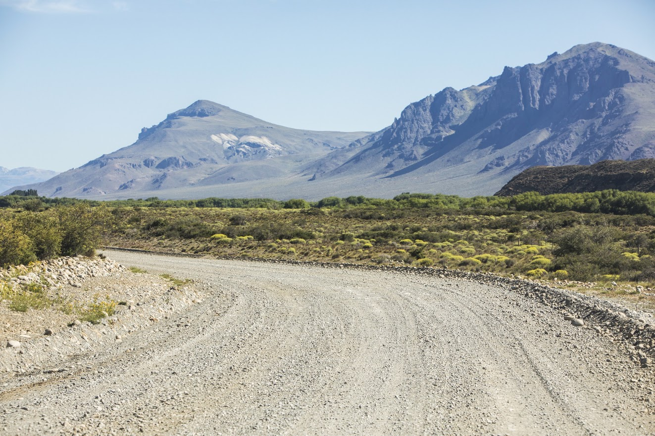
In 1885, a group of explorers—including the young John Daniel Evans, who would later be known as El Baqueano—set out on an expedition to the Andes alongside the territory’s governor, Luis Jorge Fontana. They crossed the plateau, climbed the foothills of the mountain range, and found a valley with water, pastures, trees, and a microclimate radically different from that of the steppe: humid, green, and sheltered from the easterly winds by the Andean peaks.
They called it Cwm Hyfryd: the beautiful valley.
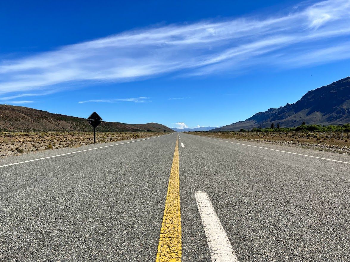
The trail they blazed was called the Route of the Riflemen—the men were armed; it was frontier country—and it connected the Chubut Valley with the Andes across more than 500 kilometers of plateau. That route remained the backbone of transportation in Patagonia for decades. Today, with some modifications, Route 25 largely follows its original course, running parallel to the Chubut River toward the mountain range.
1902: Voting on Identity
In 1881, Chile and Argentina formalized the border treaty, but establishing the definitive boundary was a very lengthy process—even today there are areas in the Continental Ice Fields without a precise demarcation—which was entrusted to a joint commission with an arbitrator appointed by the British Crown. The Cwm Hyfryd sector was addressed in the early 20th century. The discrepancy between the criteria of “high peaks” and “watershed” was enormous: depending on which one was used, the border could shift by 50 kilometers from west to east across a territory that had already been surveyed and was inhabited.
To resolve the issue, the English mediator Thomas Holdich proposed consulting the residents themselves. In 1902, a plebiscite was held among the valley’s settlers: Argentines or Chileans?
It was an unprecedented situation: European citizens who had come specifically to escape a nation that had swallowed them up now had to decide which of two South American nations they wanted to belong to.
They voted for Argentina. Their reasons were pragmatic: Buenos Aires had given them the land, had respected their cultural autonomy, and Argentine officials had shown more willingness than their Chilean counterparts to leave them in peace. The school where the vote took place still stands in Trevelin and serves as a museum.
What Remained
The chapels are the most tangible record of what the Welsh built in the Andes. Bethel Chapel in Trevelin dates back to 1904—the first stone structure in the valley. Seion Chapel in Esquel dates from 1914. They are simple buildings, with an austerity that has more in common with Protestant Congregationalism than with Mediterranean Catholicism: no saints, no images, with the pews facing the pulpit and light streaming in from the side through tall windows.
Every July 28, the families descended from those settlers celebrate the Gŵyl y Glaniad—the Landing Festival—with songs in Welsh, readings, and a long table set with black cake, scones, homemade jams, and cream. It is a ceremony that has not changed substantially since the first generation established it as a ritual of remembrance. Community singing—Welsh people sing in unison, without a conductor, as a result of cultural training—remains the most surprising part for anyone hearing it for the first time.
The language endures. Not as a folkloric curiosity but as a working language: there is a Welsh-language school in Trevelin where children learn to read and write in Welsh as well as in Spanish. Teachers come from Wales on scholarships from the United Kingdom government. The last names—Evans, Jones, Williams, Thomas, Roberts, Humphreys—appear on voter rolls, at local businesses, and at country clubs.
The Fénix Mining Company and the Forgotten Chapter
There is a lesser-known episode in the history of Y Wladfa that deserves a mention. In the late 19th century, a group of settlers organized the Fénix Mining Company with an ambitious project: to expand colonization southward and eastward along the Cordillera, taking advantage of the water resources of Lake Chelenco—now known as Lake Buenos Aires and Lake General Carrera—the Fénix River, and the Deseado River Valley in the province of Santa Cruz.
The project did not come to fruition—the Argentine government did not accept the exchange of land for colonization work and responded with an impossible counterproposal—but the explorations they carried out represent a remarkable chapter in the history of Patagonian cartography. They left behind records, geographic names, and a vision of inland Patagonia that was genuinely ahead of its time. Today, these territories can be explored by motorcycle: Lake Buenos Aires, the Deseado Plateau, and the gorges of the Pinturas River, where the Cueva de las Manos is located.
Explore it on a motorcycle
The scale of the landscape in Welsh Patagonia really comes into its own when viewed from a motorcycle.
Although they aren’t internationally renowned destinations in the world of motorcycle adventures, exploring the Valdés Peninsula and its opportunities to spot marine wildlife—southern right whales, elephant seals, sea lions, orcas, penguins, and the full range of South Atlantic birds—while riding along sandy, secluded roads is an extraordinary experience, with Puerto Madryn and Puerto Pirámides serving as hubs.
A little further south, the cities of Trelew and Rawson and the lower Chubut River valley—including Gaiman, Dolavón, and 28 de Julio—offer a deep immersion in the history of the Welsh colony, as you explore farms, museums, and small towns that seem to have come straight out of another century.
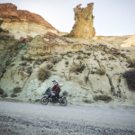
From there, it is 600 kilometers to the Andes Mountains, a journey that follows the banks of the Chubut River, passing through the Las Plumas and Los Altares valleys. The latter is a canyon-like formation with vertical walls of vivid red and extraordinary green rock, reminiscent of the Grand Canyon.
After crossing the steppe, we reached the foothills of the mountain range and Tecka, with its Tehuelche heritage, to refuel and have lunch along the road. This is the junction with Route 40.
We will soon arrive at the 16 de Octubre Valley—Cwm Hyfryd—having completed the same route that the first settlers took in wagons pulled by mules and oxen nearly 140 years ago.
In the mountain range, the possibilities are endless. From Los Alerces National Park—with its ancient larch trees—and the Andean region along the 42nd parallel, which stretches from Cholila to El Bolsón and Epuyén; or to the south, the fly-fishing paradises of Corcovado, Río Pico, Lake Vintter, and the Futaleufú River. La Piedra Parada to the northeast, very close to Gualjaina. These are incredible places because of their history and geography, and they’re a lot of fun to ride a motorcycle through—so much so that the first South American edition of the Dakar Rally followed these very same routes.
Esquel and Trevelin are the main cities in the region: they offer excellent hotels, dining, and cultural experiences, as well as repair services for all types of motorcycles.
Christian Austin, founder of R40MOTO and a direct descendant of the Mimosa settlers, was born in Esquel, just a few meters from several of the sites featured in this story. The Rocky Trip—eleven days and nearly 3,000 kilometers between Welsh Patagonia and Route 40—is designed with that insider’s knowledge: the families that welcome travelers, the photographic archives, the chapels that are usually closed, and the evening of communal singing. This isn’t surface-level tourism. It’s real access to a history that’s still alive.